

1
Friends,
Some settings I invent for my stories. Others I simply borrow, because I can’t find anything in my imagination to improve them.
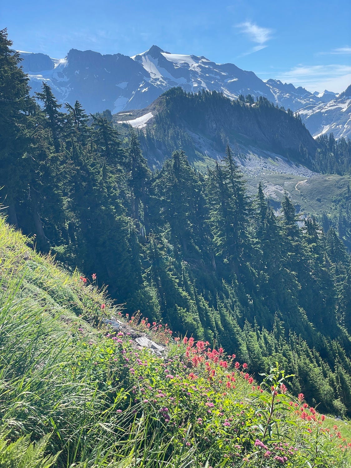
The mountains in Sugar Birds are that sort of setting. When I was writing the book, my husband and I laced up our boots and drove into the North Cascades—up the Mt. Baker Highway to Picture Lake, Artist Point, and the Ptarmigan Ridge Trail. It’s familiar country to us. Beloved country. And now, for readers of Sugar Birds, it’s storied country: these are the very slopes and lakeshore where Celia hiked with that maddening, magnetic bad boy, Cabot.
Read on. In photos I brought home, I’ll show you exactly where a few of the book’s mountain scenes unfold.
We started where Cabot and Celia did, at Picture Lake, with Mt. Shuksan hanging upside down in the water. Remember this moment?